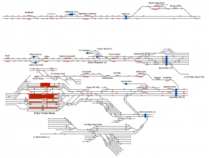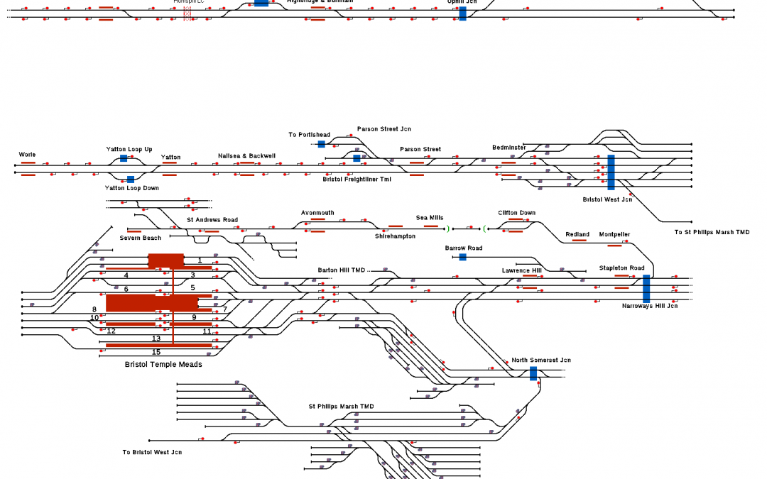
This is a ‘mostly’ accurate representation of the area between Bridgwater and Bristol. Due to limitations within ROS platform assignment is not possible, however platforms have been labelled within Temple Meads station for added realism and included within this directory is a more detailed rundown of the included timetable which is based on real workings between 07:00 and 08:00 on 02/01/2019, Schedule_02022019.txt.
However as trains will stop at the first valid platform they encounter and Temple Meads being formed of several half and half platforms, you may find that getting the train to stop at the timetabled location is not possible.
Note the map comes in three sections, be warned the first (Bridgwater-Weston) will likely be hidden when you start (it is above).
Coverage and Description of Main Features
Huntspill Level Crossing near Highbridge & Burnham
Stations included within this simulation are:
- Bridgwater
- Highbridge & Burnham
- Weston-super-Mare
- Weston Milton
- Worle
- Yatton
- Nailsea & Backwell
- Parson Street
- Bedminster
- Bristol Temple Meads
- Lawrence Hill
- Stapleton Road
- Montpelier
- Redland
- Clifton Down
- Sea Mills
- Shirehampton
- Avonmouth
- Severn Beach
Additional stopping/passing points include:
- Barrow Road (very overgrown now!)
- Bristol Freightliner Terminal
- Portishead Spur
- North Somerset Junction
- Bristol West Junction
- Uphill Junction
- Highbridge Loop
- Yatton Loop
- Narroways Hill Junction
Entrances and Exits are located at:
- North Somerset Junction (Bottom Right)
- Bridgwater (Top Left)
- Narroways Hill Junction (Centre Right)
- St Andrews Road (Centre Left)
- Barton Hill TMD (Centre Middle)
Take note of the connection between Bristol West Junction South (Centre Right) and St Philip’s Marsh TMD (Bottom Left).
Session
A session is included with some signals between junctions and crossovers being set to automatic.
You can download this project for free here!
